
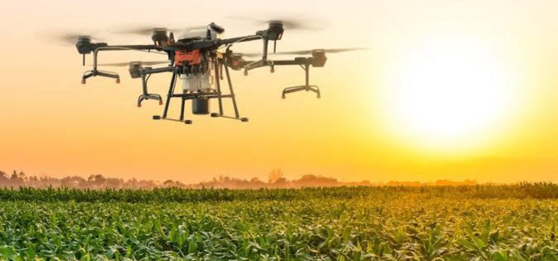
VFLYX, a leading provider of drone-based agriculture solutions, is helping farmers revolutionize the way they monitor their crops. With the use of specialized cameras and sensors, VFLYX’s drones can survey crops from above, providing farmers with detailed information about the health and growth of their crops. This information can help farmers detect potential pest outbreaks and diseases early, allowing them to take proactive measures to protect their crops and maintain high yields. The drones can also gather data about soil conditions, water levels, and other important factors, giving farmers a comprehensive view of their fields. With VFLYX’s innovative agriculture solutions, farmers can take their crop management to new heights, ensuring the health and success of their crops for years to come
Maximizing the Accuracy of Drone Survey Data with VFLYX’s Advanced Techniques.
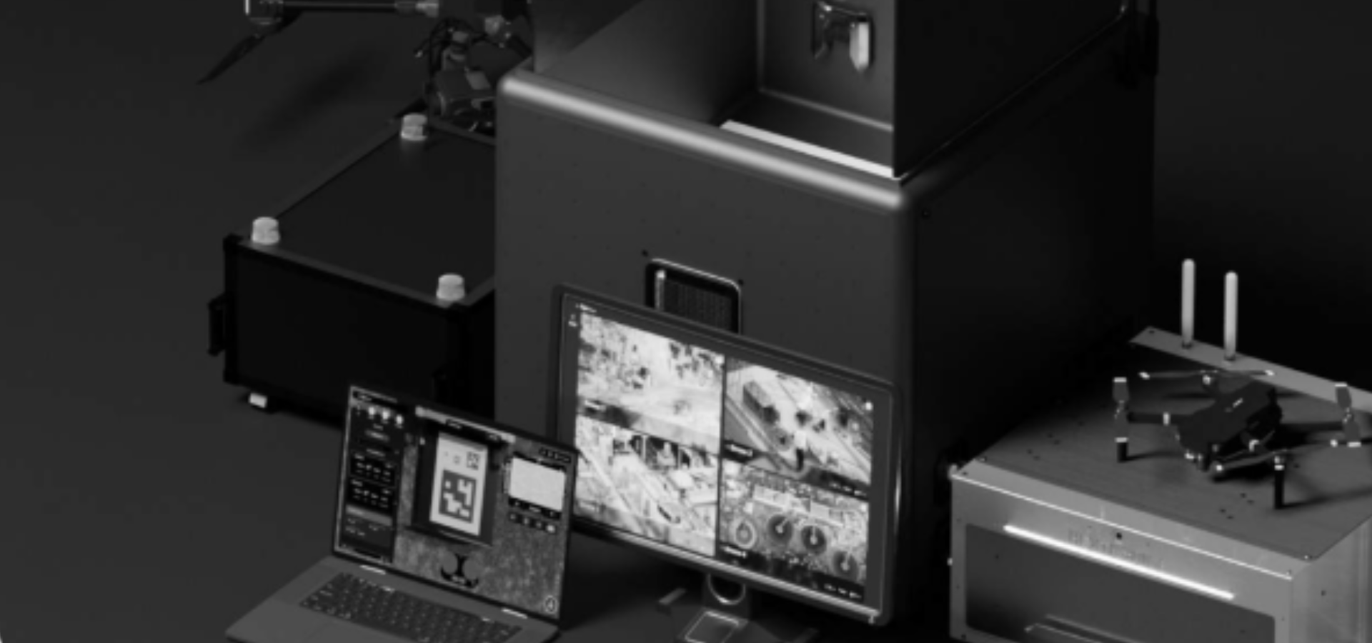
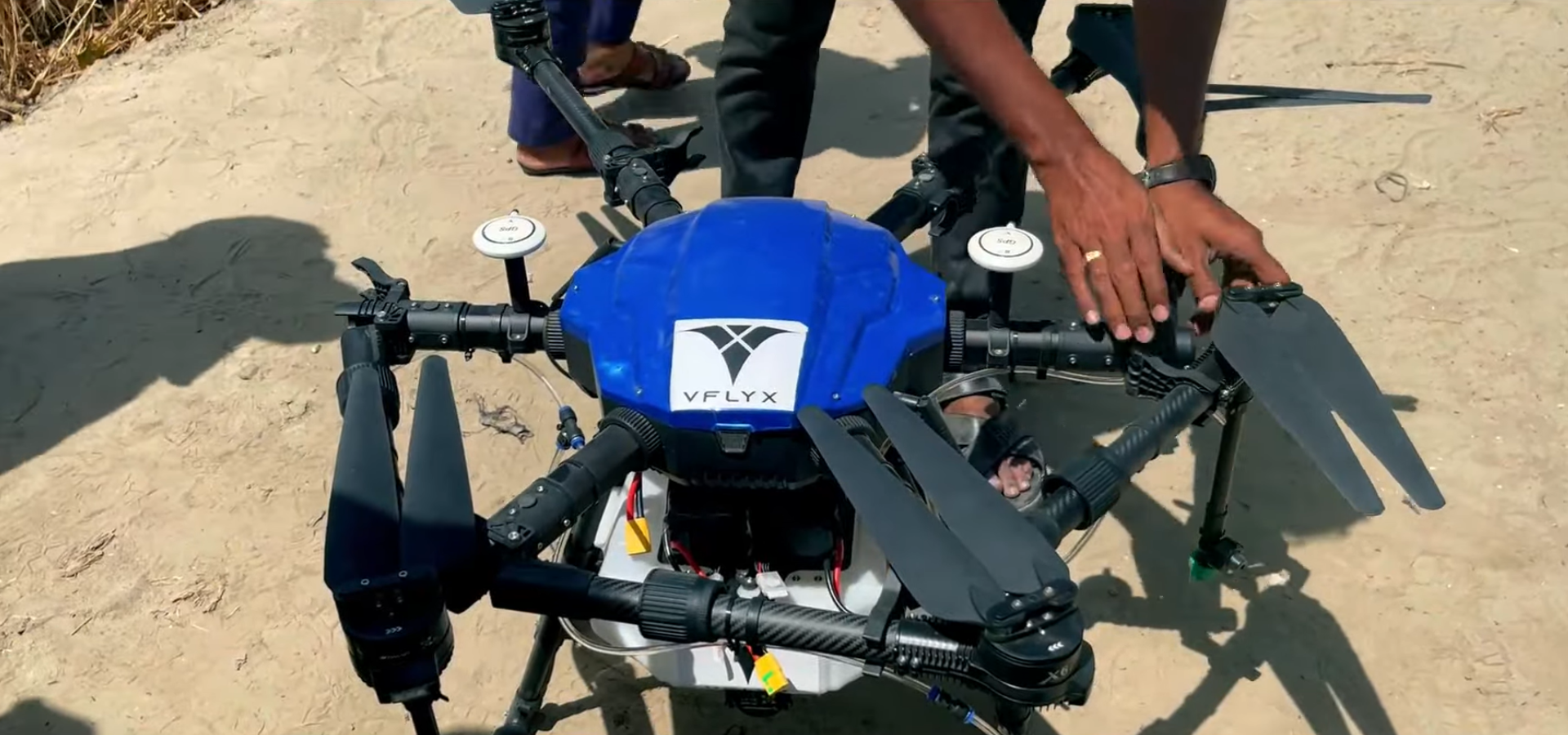
Equipment and Technology
- At VFLYX, we use the latest equipment and software to ensure that the data we collect is of the highest quality.
- Our drones are equipped with high-resolution cameras and sensors that can capture detailed images and data.
- We use advanced post-processing software like Pix4D, DJI Terra and other to create highly accurate and precise 3D models and maps.
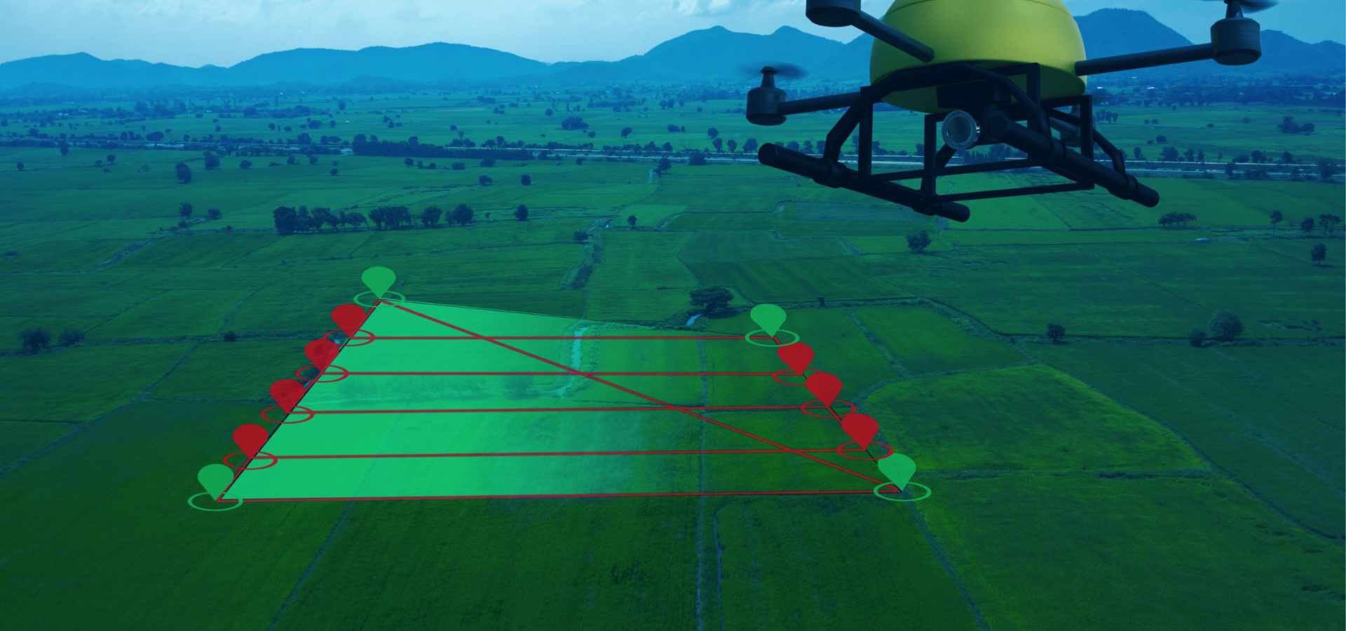
Pilot Expertise & Flight Planning
- Our team of pilots is highly trained and experienced in flying drones, and they use their expertise to ensure that the data collection is completed safely and efficiently.
- We use a flight plan that is optimized for data collection, which ensures that the data we collect is accurate and reliable.
Quality Control
- Additionally, we use quality control checks and procedures to verify the accuracy and precision of the data we collect.
- We use ground control points (GCPs) and check points to ensure the accuracy of the data.
Standards and Commitment
- At VFLYX, we strive to meet and exceed industry standards in terms of accuracy and precision.
- Our commitment to providing high-quality, accurate, and precise data collection services is at the forefront of our business.