
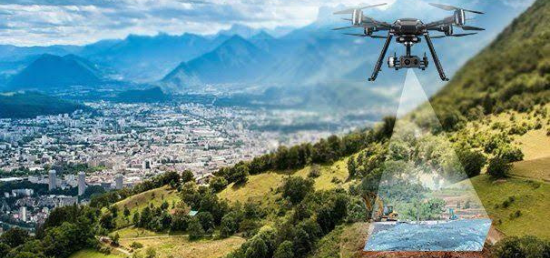
At VFLYX, we provide drone survey and mapping services that utilize the latest unmanned aerial vehicles (UAVs) equipped with advanced cameras and sensors to collect data and create detailed maps of an area. Our drone survey and mapping services are designed to revolutionize the way industries such as construction, mining, agriculture and more conduct surveys and gather data. With our services, businesses and organizations can benefit from increased efficiency, cost savings, and improved safety compared to traditional methods. Our drones are able to quickly and easily collect high-resolution data and images, which are crucial for making data-driven decisions. By choosing VFLYX for drone survey and mapping, you can ensure that you are getting the best in class service to unlock the full potential of your business.
Maximizing the Accuracy of Drone Survey Data with VFLYX’s Advanced Techniques
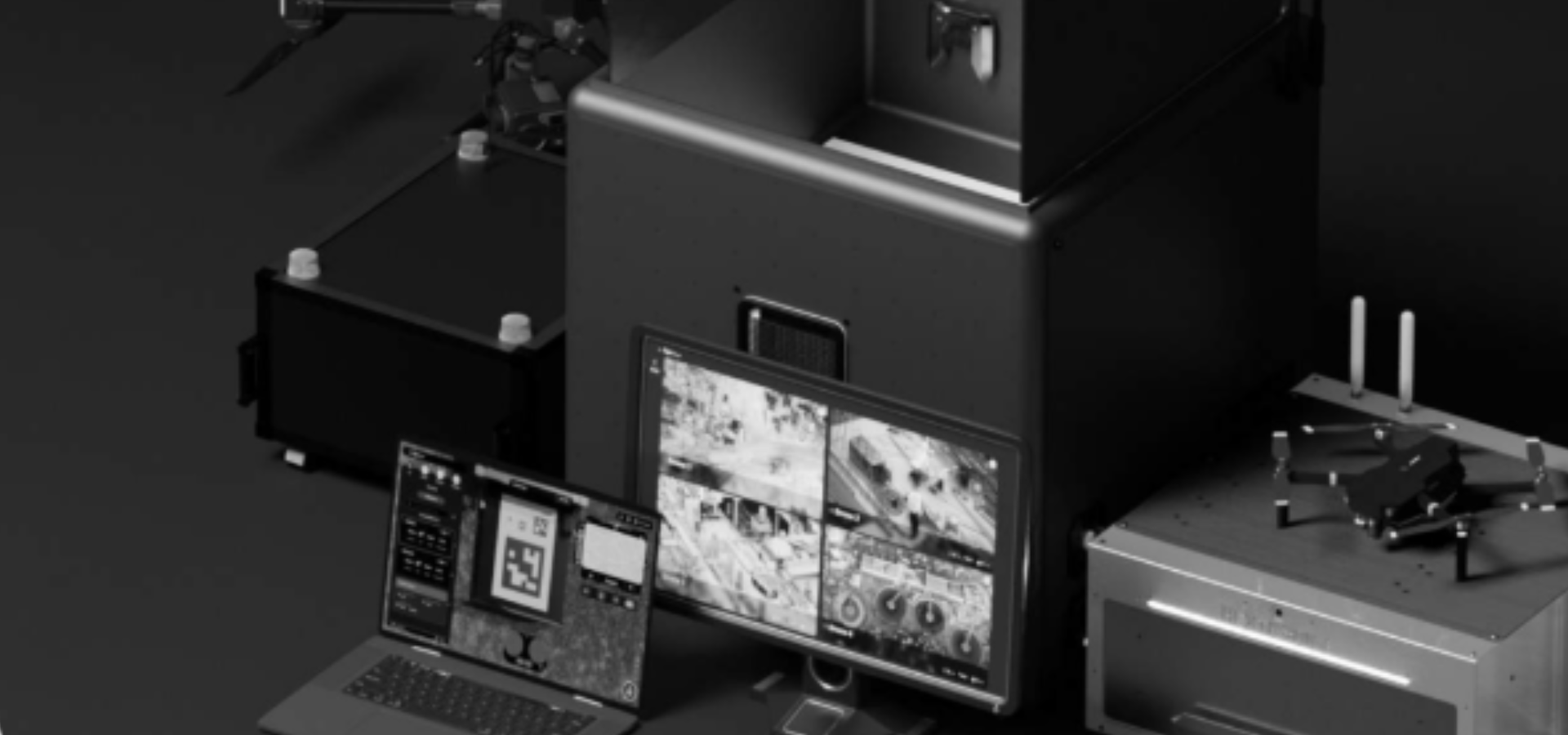
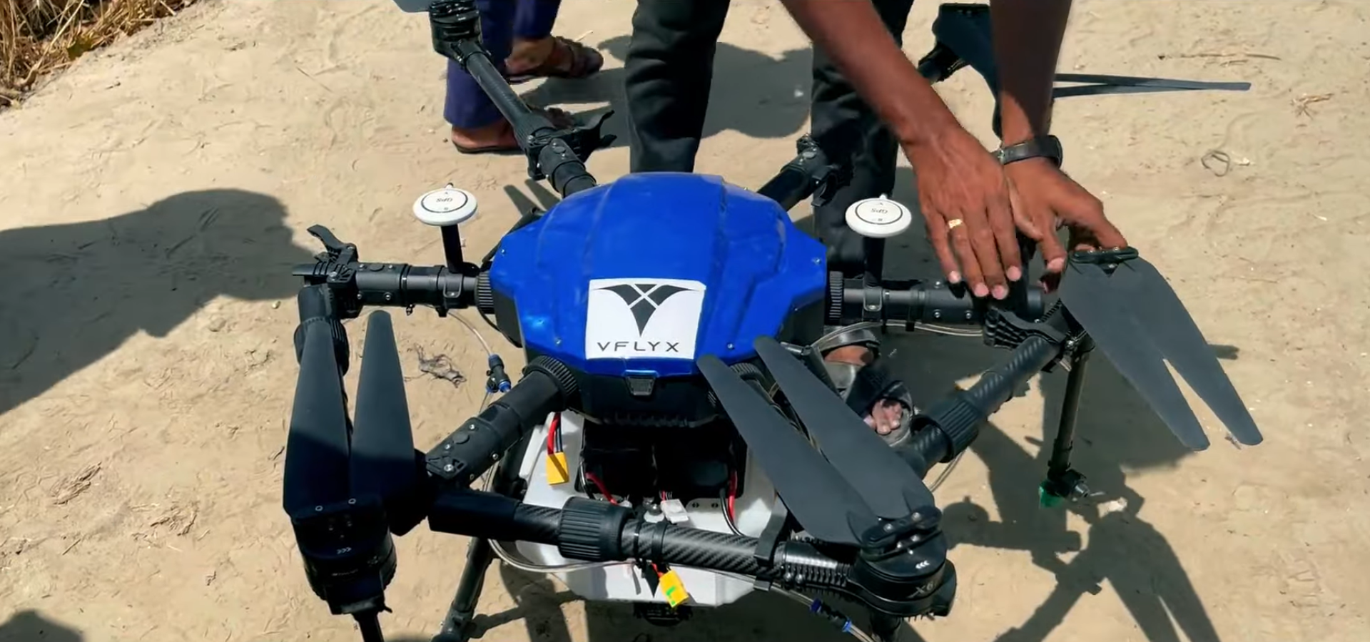
Equipment And Technology
- At VFLYX, we use the latest equipment and software to ensure that the data we collect is of the highest quality.
- Our drones are equipped with high-resolution cameras and sensors that can capture detailed images and data.
- We use advanced post-processing software like Pix4D, Agisoft and others to create highly accurate and precise 3D models and maps.
Pilot Expertise and Flight Planning
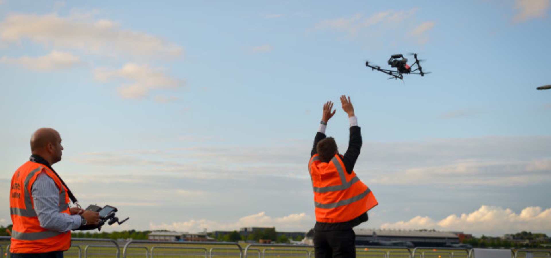
- Our team of pilots are highly trained and experienced in flying drones, and they use their expertise to ensure that the data collection is completed safely and efficiently.
- We use a flight plan that is optimized for data collection, which ensures that the data we collect is accurate and reliable.
Quality Control
- Additionally, we use Quality Control checks and procedures to verify the accuracy and precision of the data we collect.
- We use Ground Control Points (GCPs) and check points to ensure the accuracy of the data.
Standards and Commitment
- At VFLYX, we strive to meet and exceed industry standards in terms of accuracy and precision.
- Our Commitment to providing high-quality, accurate and precise data collection services is at the forefront of our business.
Types of drone survey and mapping
LiDAR Surveying
LiDAR (Light Detection and Ranging) is a technology that uses laser beams to measure the distance between the drone and the ground. This type of drone survey and mapping can be used to create detailed 3D models of an area, and is particularly useful for surveying rugged or hard-to-reach terrain.
VFLYX’s Approach to Planning and
Preparation for Drone Surveys
The data collection process is critical for ensuring that accurate and reliable data is captured, and it is important to have experienced pilots and the right equipment for the job. At VFLYX, we use the latest technologies and equipment to ensure that the data we collect is of the highest quality.
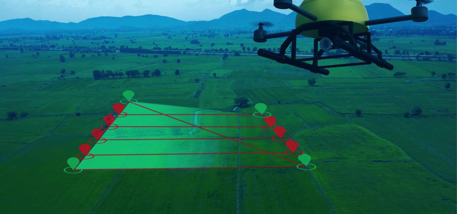
01. Planning
The first step in the process is to plan the survey or mapping project. This includes determining the area to be surveyed or mapped, identifying any potential obstacles or hazards, and selecting the appropriate equipment and software. In Planning, our team of experts at VFLYX will work closely with the client to understand their specific needs, and will create a detailed plan that outlines the scope of the project, the equipment and software that will be used, and any potential challenges or obstacles that may need to be addressed. This step is critical for ensuring the success of the project, and is an important part of delivering accurate and reliable data.
02. Data Collection
Flying the drone over the area to be surveyed or mapped, using specialized cameras, sensors, and software to collect data. The data collected can include aerial images, videos, 3D models, and other types of data depending on the type of survey or mapping being conducted. Our team of pilots at VFLYX are fully trained and experienced in flying drones, and will use their expertise to ensure that the data collection is completed safely and efficiently. We use state-of-the-art drones to ensure that we are able to capture high-quality data that will be useful for the client.
03. Analysis
After the data has been collected, it is analyzed to extract valuable information. This analysis can include creating detailed maps, 3D models, and other data products that can be used for various applications. The analysis process can involve using specialized software such as Pix4D, Agisoft and other tools to process and analyze the data. This step is critical for extracting useful information from the data, and can include tasks such as creating digital terrain models, calculating volume measurements, and identifying specific features or areas of interest
04. Reporting
This report will include all of the data collected, as well as any relevant information and analysis that has been performed. The report can be in various forms like PDF, excel, and GIS files. The report should be user-friendly and easy to understand, and will be tailored to the specific needs of the client. The report should also include recommendations and suggestions for further action based on the results of the survey or mapping project. This can include things like maintenance plans, monitoring plans, and other recommendations that will help the client make informed decisions and improve their operations.
05. Further Action
Based on the report, the client can take further action like making decisions, planning and maintenance, monitoring, etc. The report will provide the client with the data they need to make informed decisions and improve their operations. For example, if the survey or mapping project was conducted for a construction site, the client may use the data to plan and execute the construction process more efficiently. Similarly, if the project was conducted for an agricultural field, the client may use the data to monitor crop health, and plan irrigation and fertilization. The report may also include recommendations for monitoring and maintenance, which can help the client to identify potential issues and take action to prevent them before they become major problems.
Maximize the Benefits of Drone Survey and Mapping with Xboom
Using drone survey and mapping can bring a wide range of benefits to a business or industry. Drones provide a cost-effective and efficient way to collect data and create 3D models and maps, which can be used for a variety of applications such as construction, mining, agriculture, and more.
One of the major benefits of using drone survey and mapping is the ability to collect data from multiple viewpoints and at high resolution, which ensures high accuracy and precision. This data can be used to create detailed 3D models and maps, which can be used for a variety of purposes such as planning, design, and monitoring.
Another benefit is that drones can be used to access difficult-to-reach areas, such as offshore oil rigs and platforms, bridges, and transmission lines, that would be impossible or dangerous for humans to access. Drones can also be used for security and surveillance, which can help to improve safety and security in a variety of settings.
Additionally, using drone survey and mapping can reduce the need for traditional survey methods, which can be time-consuming and costly. Drones can cover large areas in a short period of time, and the data they collect can be used to create 3D models and maps that can be used for a variety of purposes.
In summary, VFLYX’s drone services can provide businesses and industries with accurate, efficient and cost-effective data collection, and mapping services that can be used for a wide range of applications. Whether it is for construction, mining, agriculture, or any other industry, our drone services can help you unlock the full potential of your business.